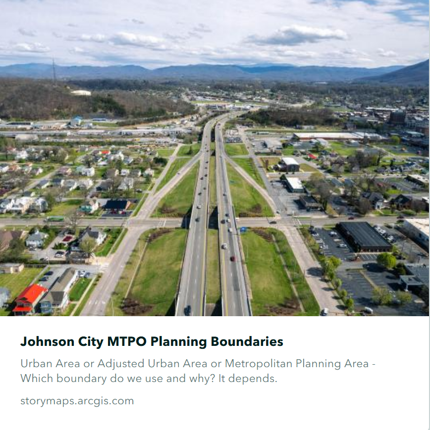
StoryMap of Planning Boundaries
This StoryMap walks you through the differences between the three different boundaries the Johnson City MTPO uses.
Johnson MTPO
2050 Metropolitan Transportation Plan Update
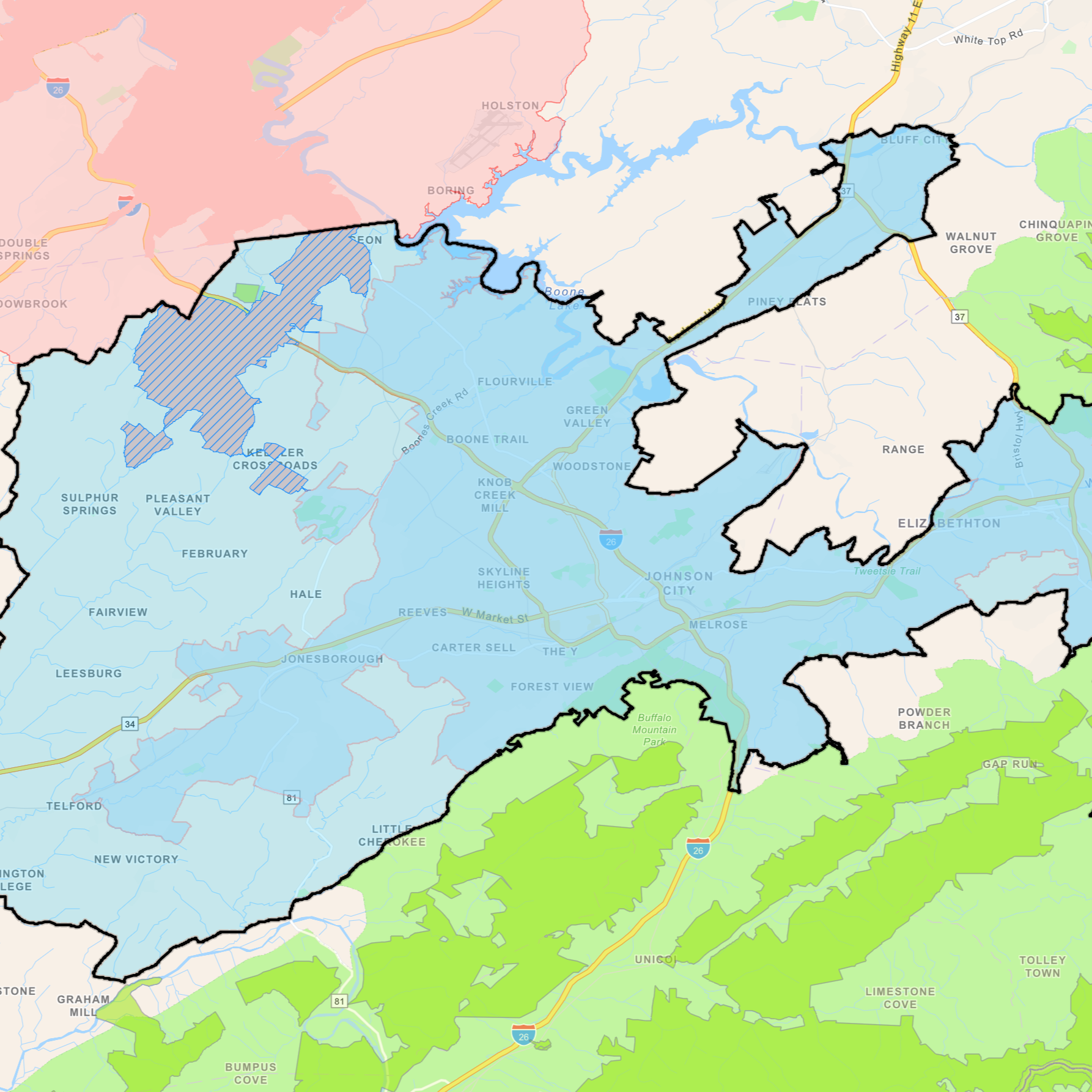
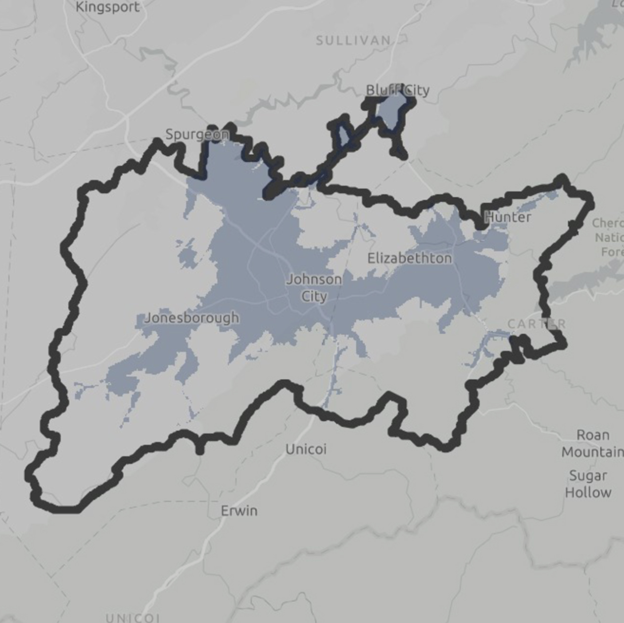
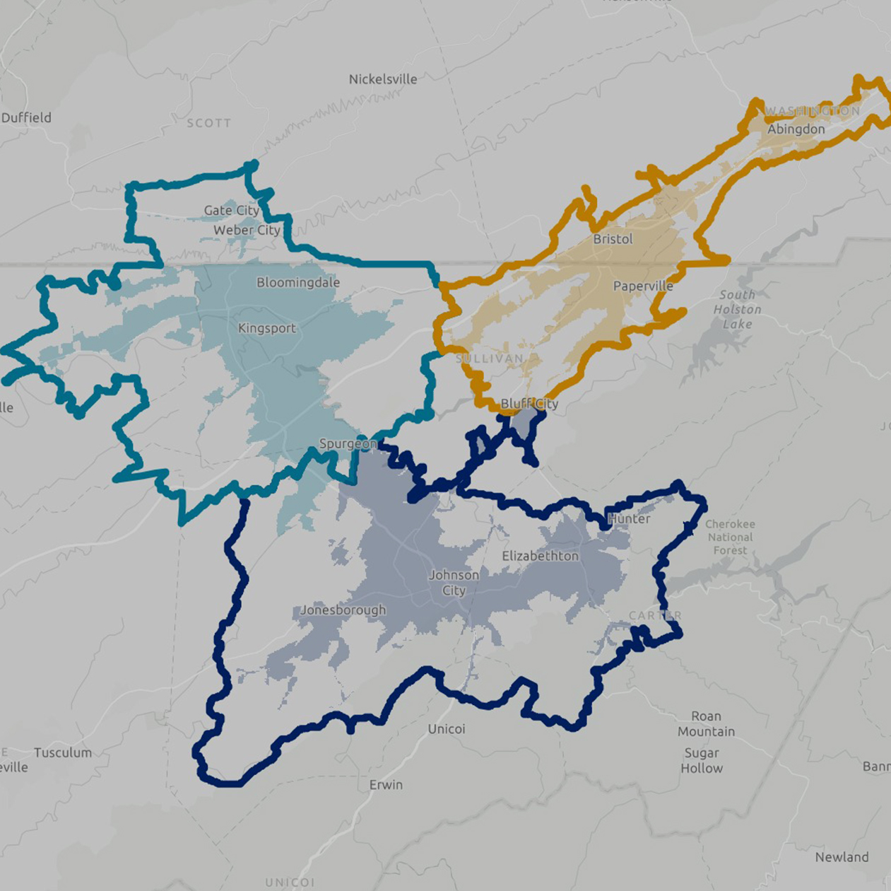
Johnson City MTPO Metropolitan Planning Area Boundary
The Johnson City MTPO recently adopted the Metropolitan Planning Area (MPA) Boundary, which includes the Urbanized Area plus other areas that we predict will become urbanized within the next 20 years.
Transportation Improvement Program
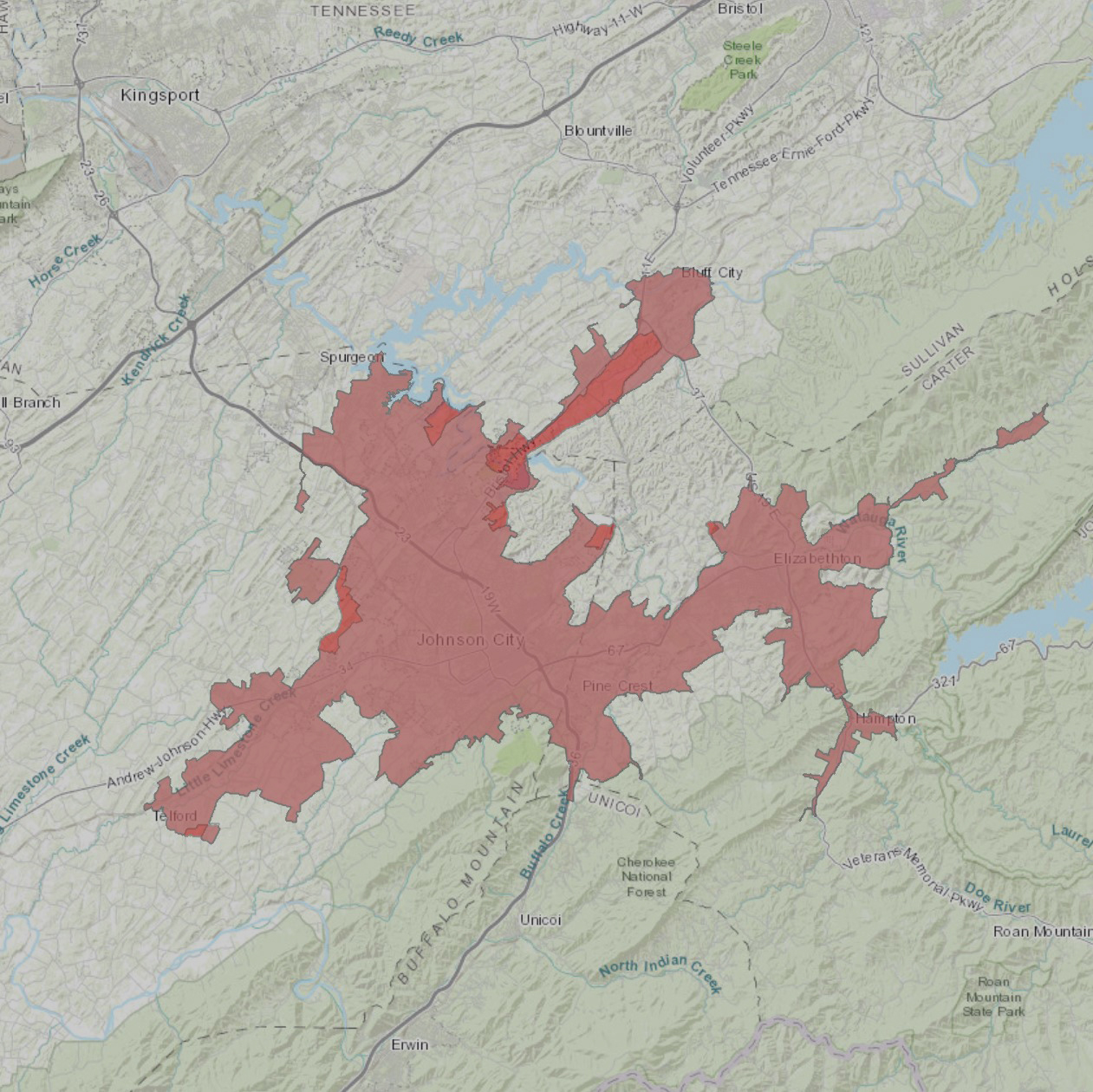
Adjusted UZA
The Johnson City MTPO adjusted the Johnson City Urban Area Boundary, provided by the Census Bureau, for transportation planning purposes.
Transportation History
Transportation History in the Johnson City MTPO area.
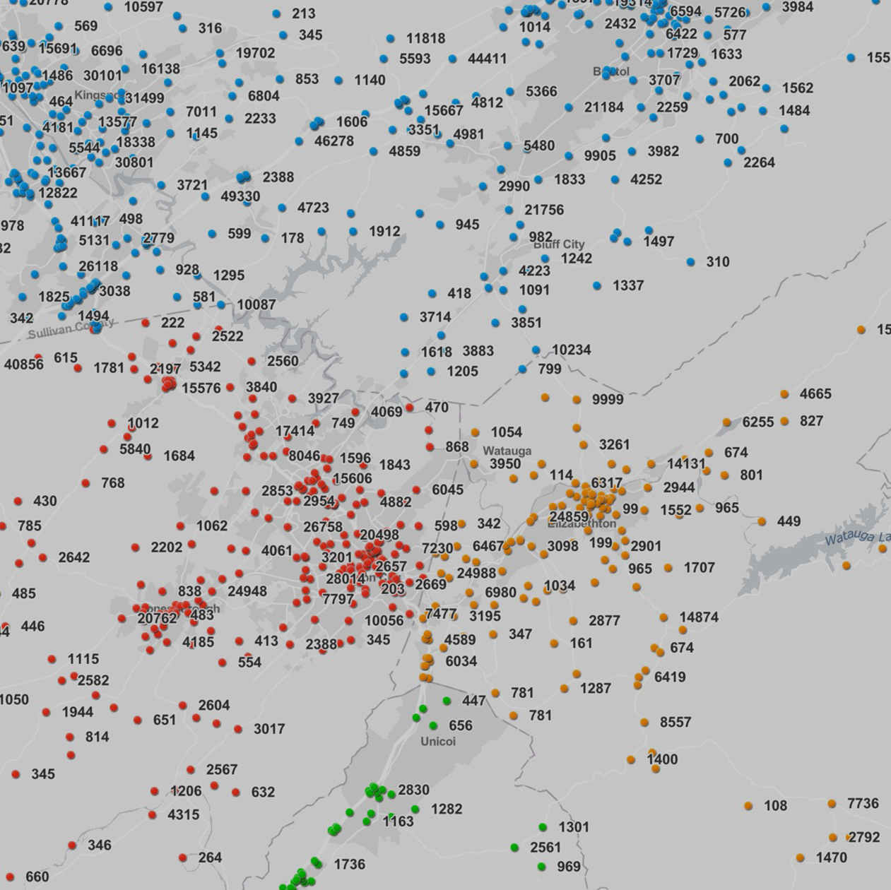
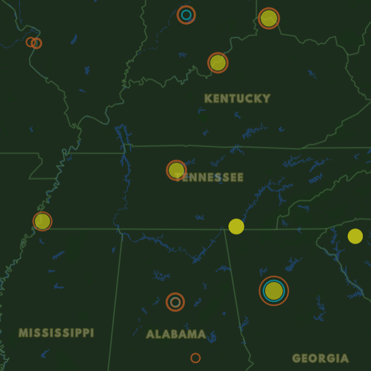
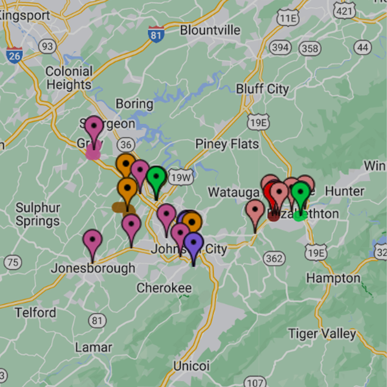
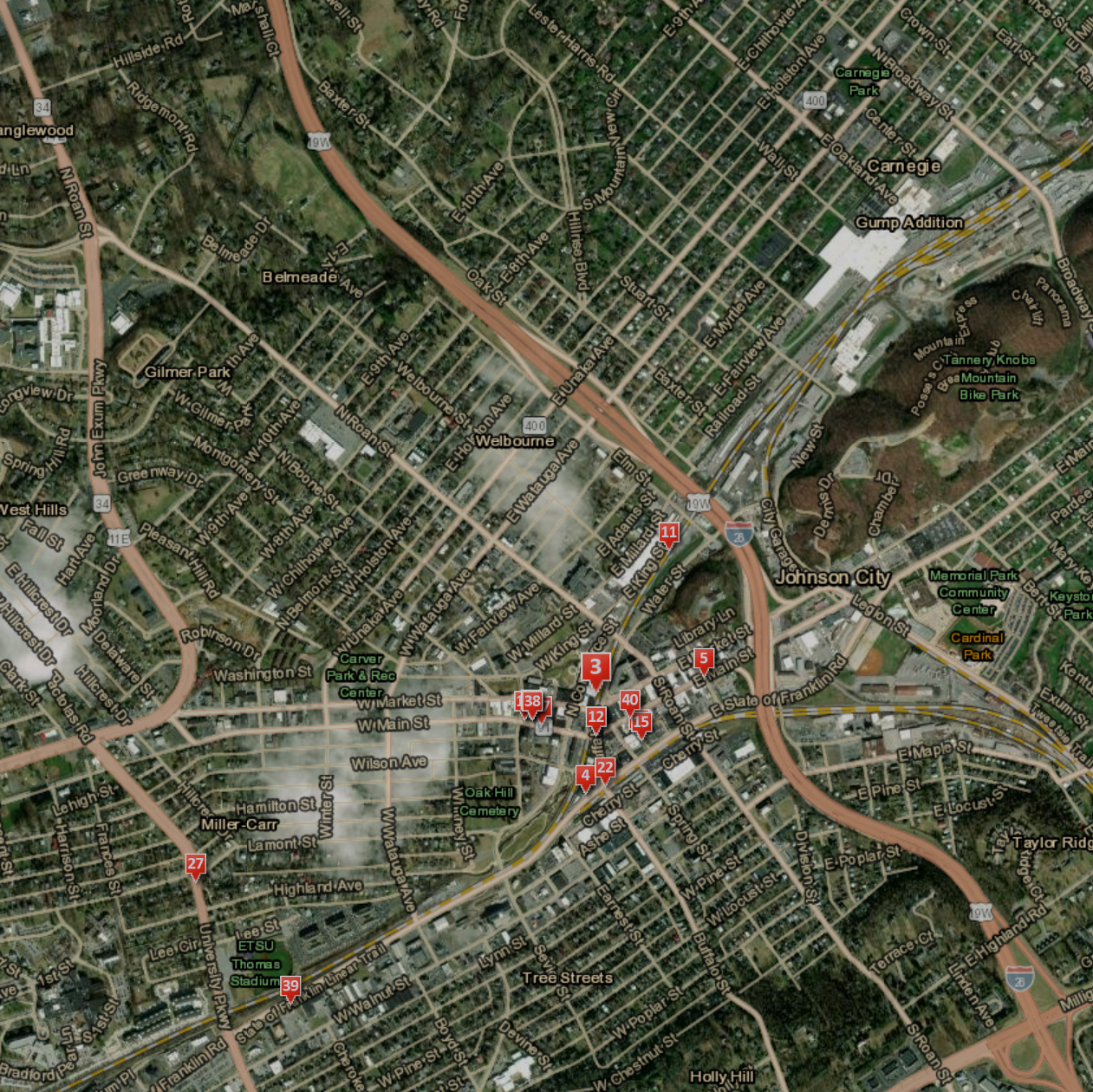
Historic Traffic Counts
This map includes traffic station locations for the 4-county region, along with historic traffic count data. This data is provided by the Tennessee Department of Transportation.
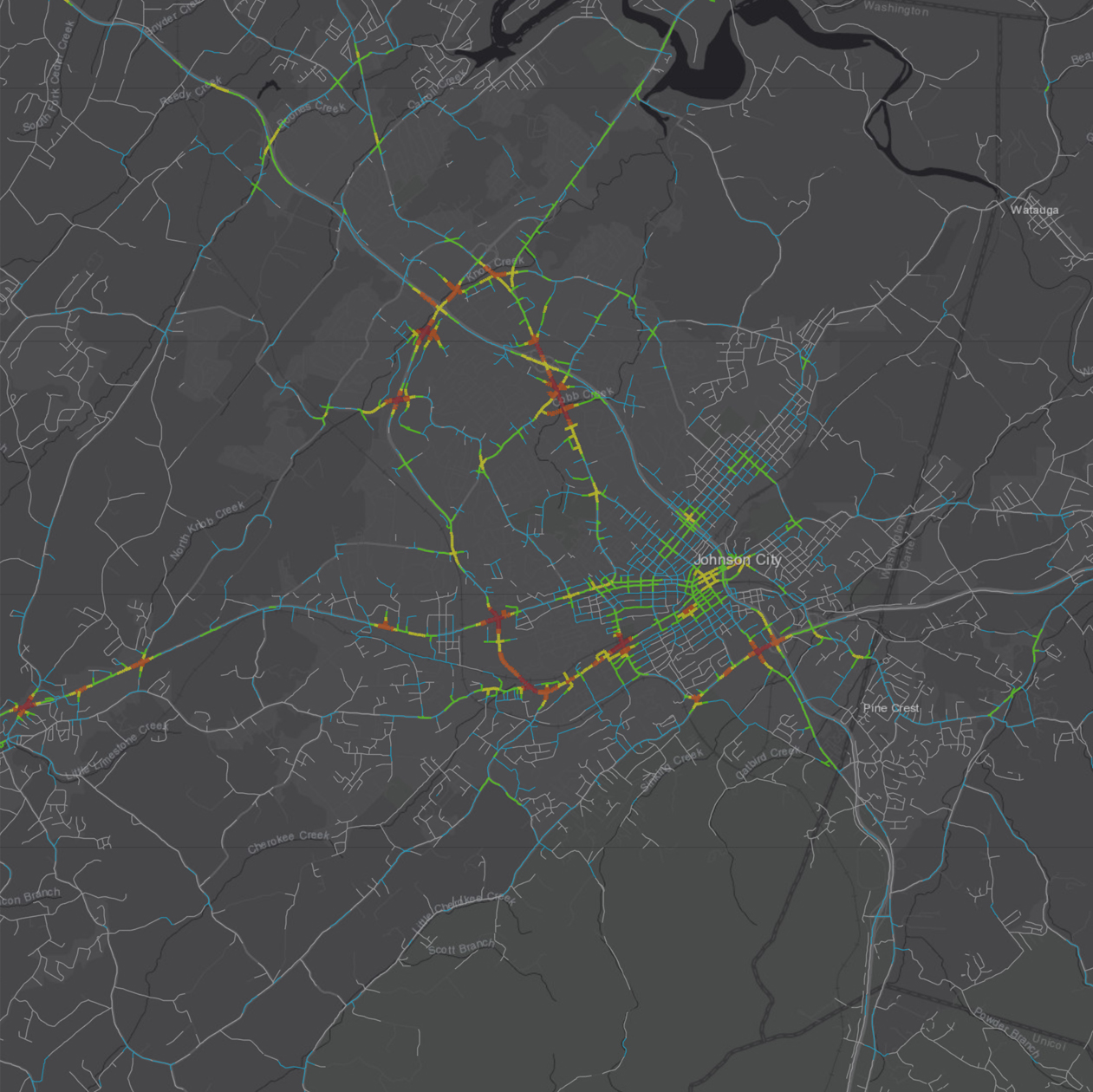
Functional Classification System
This map shows the federal Functional Classification System for the Johnson City MTPO Metropolitan Planning Area.
Transportation Management Area Study
Johnson City Metropolitan Transportation Planning Organization
Johnson City MTPO 2013-2017
Johnson City MTPO 2013-2017 Crash Analysis - East Tennessee State University
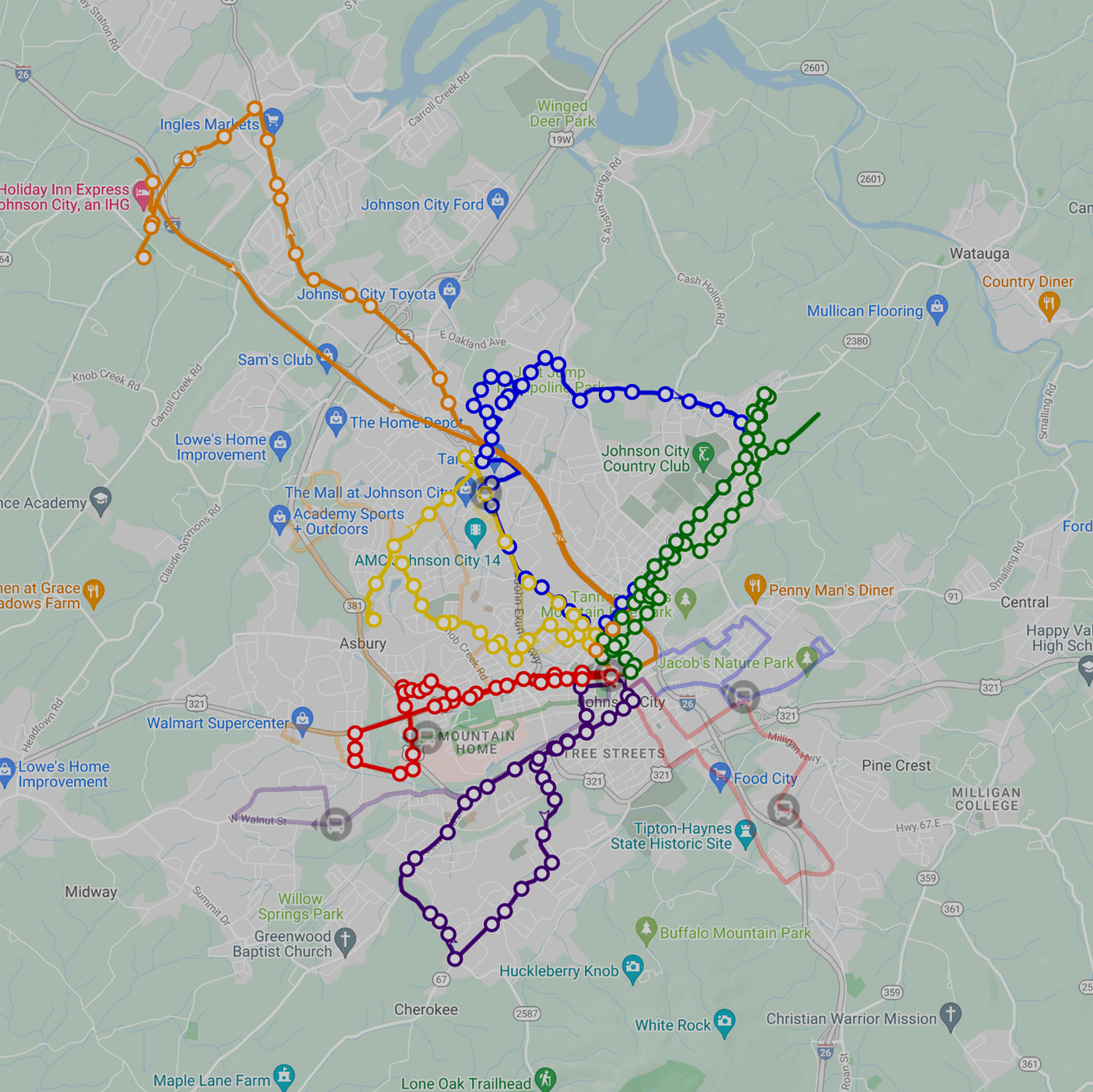
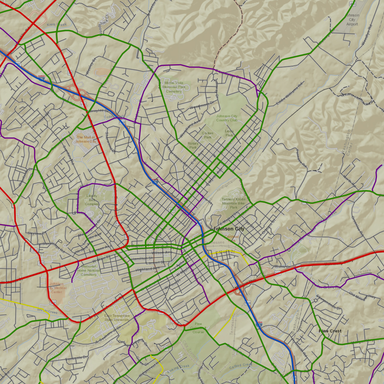
Transit Route Map
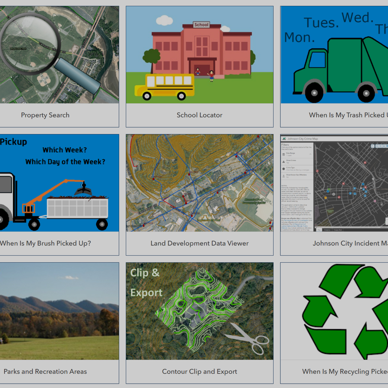
Johnson City GIS Maps